DJI Multispectral

DJI Multispectral
Plant Intelligence for Targeted Action
Gather precise plant-level data using the DJI Mavic 3 Multispectral – a high-precision drone with a seamlessly integrated
multispectral imaging system built for agriculture missions, environmental monitoring, and more.
_________________________________________________________________________________________________________
Farm to Figures
Gain Immediate Insights into Plant Health
_________________________________________________________________________________________________________
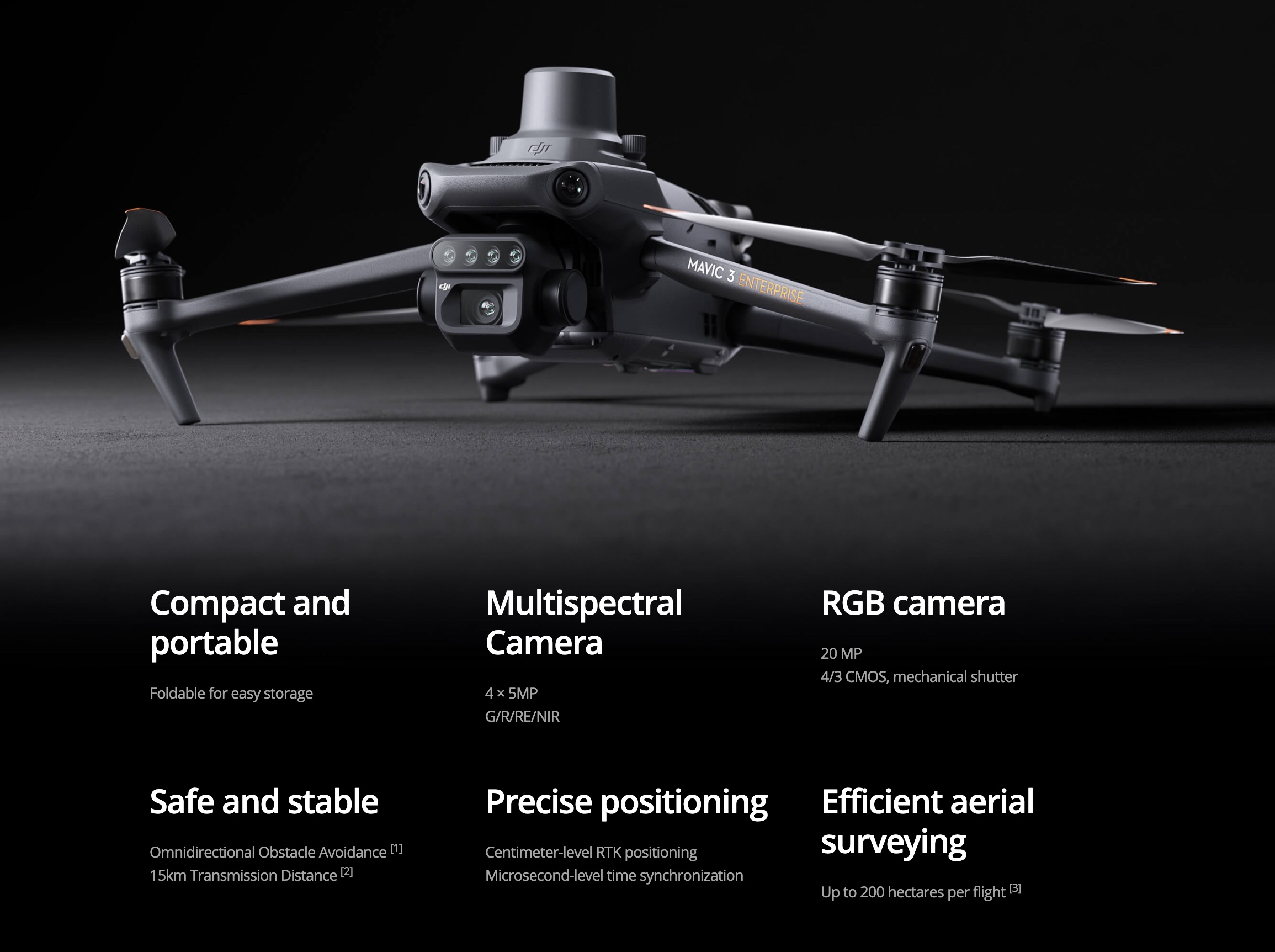
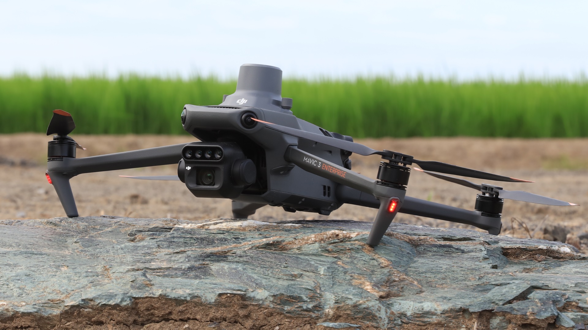
Highly Integrated Imaging System
![]()
Newly upgraded imaging system with one 20MP RGB camera and four 5MP multispectral cameras (green, red, red edge, and near infrared). Enables applications such as high-precision aerial surveying, crop growth monitoring, and natural resource surveys.
_________________________________________________________________________________________________________
Integrated Spectral Sunlight Sensor for Accurate Results
The built-in sunlight sensor captures solar irradiance and records it in an image file, allowing for light compensation of image data during 2D reconstruction. This results in more accurate NDVI results, as well as improved accuracy and consistency of data acquired over time.
_________________________________________________________________________________________________________
RTK module:
Accurate images that capture every pixel
Mavic 3M with RTK module for centimeter-level positioning. Flight control, the camera, and the RTK module sync in microseconds to accurately capture the location of each camera’s imaging center. This enables Mavic 3M to do high-precision aerial surveying without using ground control points.
_________________________________________________________________________________________________________
D-RTK 2 Mobile Station and NTRIP Compatibility
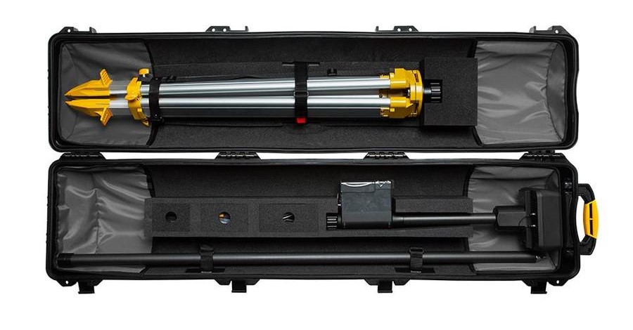
Enhance the accuracy of RTK positioning without internet connection by connecting the DJI Mavic 3 to the D-RTK 2
High Precision GNSS Mobile Station and NTRIP (Network Transport of RTCM via Internet Protocol)2,
or store the satellite observation data to be used for Post Processed Kinematics (PPK).
_________________________________________________________________________________________________________
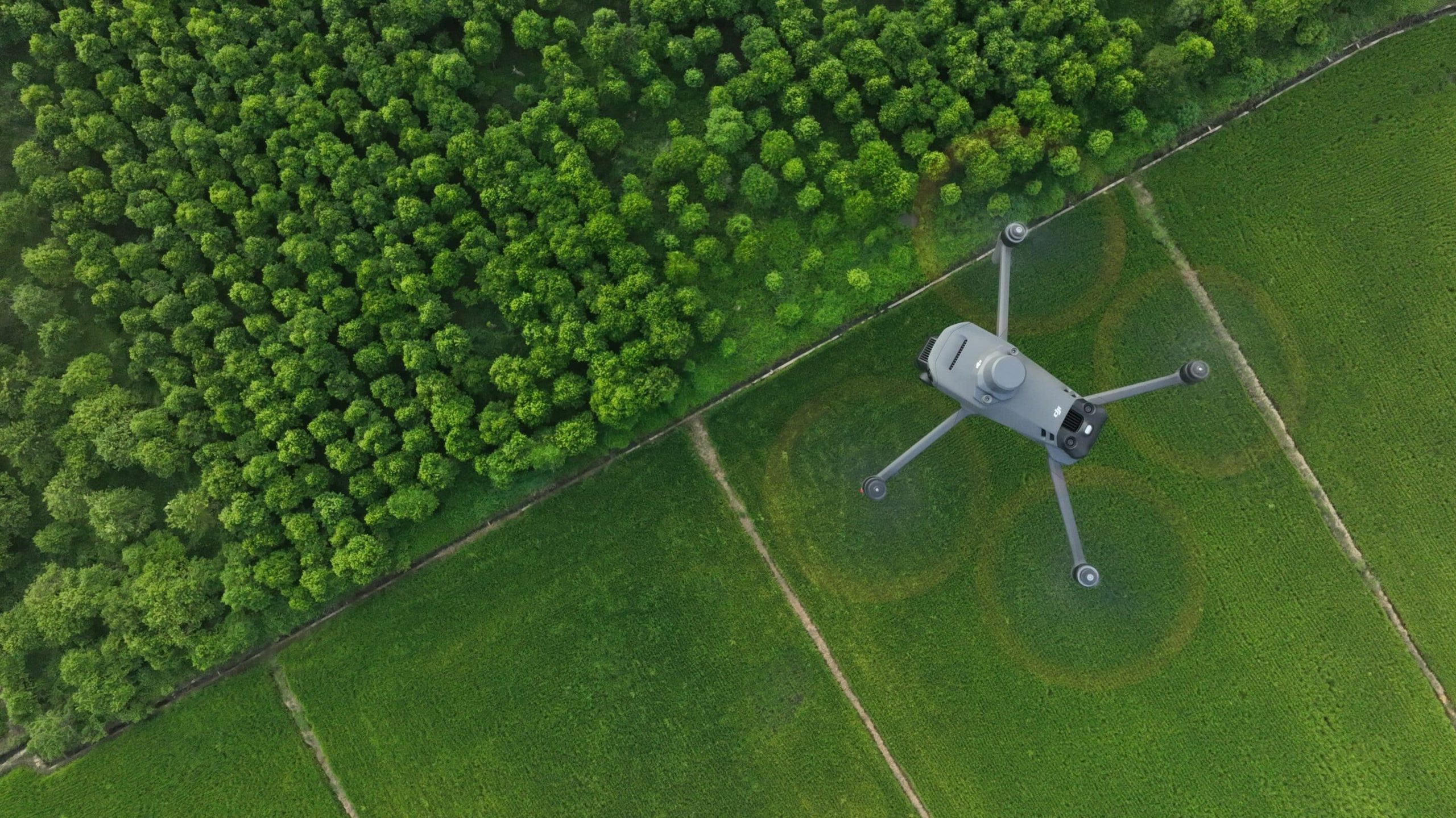
Plan Flights + Capture Data + Analyze Data + Act on Data
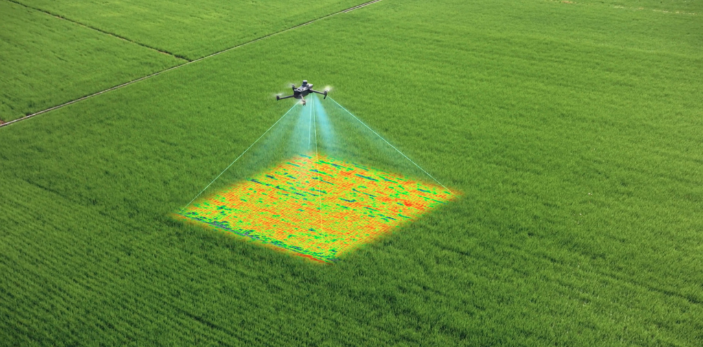
Throughout all growing seasons, multispectral imagery can be helpful to ag professionals by providing information invisible
to the human eye across the electromagnetic spectrum. Having access to this data and the subsequently obtained
Vegetation Index data such as NDRE and NDVI, farmers can make timely,
informed decisions on crop treatment, lowering costs, saving resources, and maximizing yields.